Flightradar24
Recorded flight search results and flight tracks are provided by Flightradar24 and are credited as "Flight data by Flightradar24" where imported.
Legal
Last updated: September 27, 2026
Boba Globe includes route-provider data, route-object models, Earth texture imagery, texture transcoding tools, video export tooling, and open-source software. The notices below identify the main third-party materials, credits, and licenses used by the app.
Provider credits apply only when the related route provider is enabled and used for a route shown in the app or in an exported visualization.
Recorded flight search results and flight tracks are provided by Flightradar24 and are credited as "Flight data by Flightradar24" where imported.
BusMaps transit route geometry and timing must credit busmaps.com where rendered or exported.
Geoapify route, geocoding, and place data may include OpenStreetMap-derived data and attribution requirements when those routes are enabled and requested.
Place search in the apps checks Wikipedia to rank well-known landmarks and may show their titles, coordinates, and short descriptions. Wikipedia text is available under CC BY-SA 4.0; Wikidata data is CC0.
Google Maps Platform route data is optional and may be used only where separately approved, enabled, and requested.
Built-in route objects are original Boba Globe and Only eSIM designs. Creator and license details for the current models are listed below.































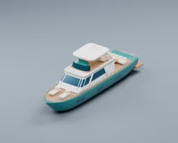

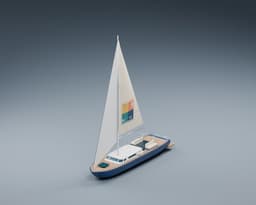

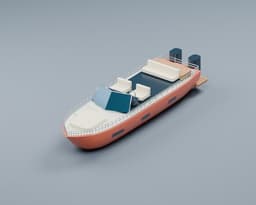


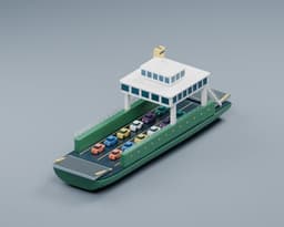

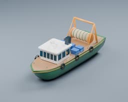
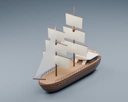
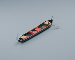

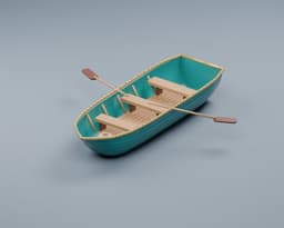















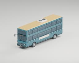
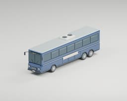





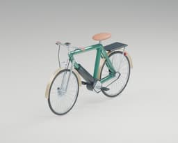
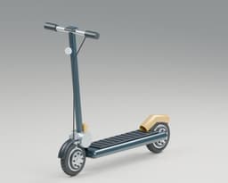







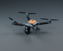















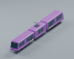

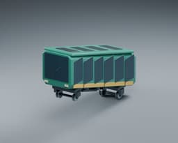
Runtime software notices are based on the production dependency set checked for this release. FFmpeg fallback export assets run in the browser only when the fallback is enabled and used; then FFmpeg core code is loaded by the browser from the package source listed below.
Browser-loaded FFmpeg core used for fallback video export when WebCodecs is unavailable and the fallback is enabled.
FFmpeg WASM JavaScript wrapper vendored under /vendor/ffmpeg.
Italic place names on the Treasure Map (the Fell Types, digitized by Igino Marini); bundled in the apps.
Engraved-capital country names and distance counter on the Treasure Map (by Natanael Gama); bundled in the apps.
KTX2 texture transcoding for compressed globe textures.
Application framework and rendering runtime.
User interface runtime.
3D rendering and WebGL utilities.
React renderer for Three.js scenes.
Three.js helpers and loaders.
React integration for postprocessing effects.
WebGL postprocessing effects.
Interface animation runtime.
Client-side state management.
Supabase browser and server client.
Supabase SSR session helpers.
Stripe Checkout, billing portal, and webhook integration.
AWS SES lifecycle email delivery.
Local email transport and email tooling support.
Transactional email template tooling.
Client-side MP4 muxing for WebCodecs exports.
Local fuzzy search utilities.
QR code rendering support.
Supabase Auth webhook verification.
Reads GPX and KML route files imported in the mobile app.
On-device shortest sea routes between coastal stops.
World geometry processing.
World map topology data.
These records identify browser-loaded or app-origin copies of third-party export, Earth texture, and texture-transcoding assets used by Boba Globe.
Elevation and bathymetry stream at runtime from the AWS Open Data Terrain Tiles dataset, compiled by Mapzen from SRTM, GMTED, ETOPO1, NED, Copernicus and other open sources listed in its attribution. Draped borders come from the existing Natural Earth world-atlas data. The bundled climate lookup is derived from NASA Blue Marble mosaics by scripts/build-relief-climate.ts; its colours never reach the screen. Sea, lakes and rivers come from the sources below. Boba Globe authors the palette, hillshade and exaggerated relief.
App-Origin Paths
/terrain3d/climate.png/terrain3d/water.png/terrain3d/thumb.jpg/terrain3d/thumb-*.jpgWhere Terrain 3D maps draw sea and land (bays, estuaries, lagoons, fjords and straits) comes from OpenStreetMap's coastline, via the water polygons published by osmdata.openstreetmap.de. scripts/build-coast-tiles.ts turns them into signed-distance coast tiles on the terrain grid, which Boba Globe serves from its own asset CDN (the whole-globe level ships in the app), and rebuilds the sea channel of /terrain3d/water.png from the same polygons.
App-Origin Paths
/terrain3d/coast/2/*/*.png/terrain3d/water.pngTerrain 3D maps draw lakes and reservoirs from HydroLAKES (Messager, M.L., Lehner, B., Grill, G., Nedeva, I., Schmitt, O. (2016): Estimating the volume and age of water stored in global lakes using a geo-statistical approach. Nature Communications 7: 13603), including each lake's surface level, and wide rivers, tidal rivers and canals from the Global River Widths from Landsat (GRWL) database (Allen, G.H., Pavelsky, T.M. (2018): Global extent of rivers and streams. Science 361: 585-588). scripts/coast/build_inland_water.py rasterizes both and scripts/build-coast-tiles.ts adds them to the coast tiles' inland channel and the lake channel of /terrain3d/water.png. Modified (rasterized, resampled and encoded as distance fields) by Boba Globe.
App-Origin Paths
/terrain3d/coast/2/*/*.png/terrain3d/water.pngThe Night Lights map's city lights derive from NASA Earth Observatory's Black Marble 2016 global composite (images by Joshua Stevens, using Suomi NPP VIIRS data from Miguel Román, NASA's Goddard Space Flight Center). scripts/build-night-lights.ts keeps only the lights (removing the composite's moonlit ground) and splits them into four greyscale quarters; the dark ground, relief and colours are Boba Globe's. NASA does not endorse Boba Globe. Credit is given here; exports carry no texture credit, as with the other NASA imagery.
App-Origin Paths
/terrain3d/night/west-north.jpg/terrain3d/night/east-north.jpg/terrain3d/night/west-south.jpg/terrain3d/night/east-south.jpg/terrain3d/thumb-terrainNight.jpgThe Realistic Earth map streams sharp clouds around each journey from NASA's Blue Marble 2002 cloud composite at about 1 km (NASA Goddard Space Flight Center, image by Reto Stöckli; MODIS data). scripts/clouds/build_cloud_tiles.py lightly despeckles, resizes and tiles it, and Boba Globe serves the tiles from its own asset CDN (cloud-tiles/bm-clouds-2002-v1). The shading, softening and colours are Boba Globe's; offline, the installed cloud map listed under the NASA Blue Marble texture distribution draws instead. NASA does not endorse Boba Globe. Credit is given here; exports carry no texture credit, as with the other NASA imagery.
App-Origin Paths
/terrain3d/thumb-terrainRealEarth.jpg© ESA WorldCover project 2021 / Contains modified Copernicus Sentinel data (2021) processed by ESA WorldCover consortium. Boba Globe colour grades the 10 m median composite, tones water to NASA Blue Marble, reprojects it to Web Mercator and serves it as map tiles from its own CDN. The Blue Marble map streams them over its NASA imagery in close views; ocean, Antarctica and anything outside a build stay NASA Blue Marble Next Generation, courtesy of NASA Goddard Space Flight Center. While the tiles are on screen the map shows, and every export burns in, "Imagery © ESA WorldCover 2021, Copernicus Sentinel-2 · NASA". ESA and the European Commission do not endorse Boba Globe.
Boba Globe renders its own raster street-map tiles from a Protomaps build of OpenStreetMap (with Natural Earth at the lowest zooms) using MapLibre Native and the @protomaps/basemaps layer definitions in Boba's colours, and serves them from its own asset CDN. The Roads map drapes them over Terrain 3D; Hybrid draws the roads-and-names layer over the bundled NASA Blue Marble imagery. The map shows, and every export burns in, "© OpenStreetMap contributors · Protomaps".
Shipping-lane graph bundled unmodified in the mobile app and loaded only when a sea route is requested. Oak Ridge National Laboratory Global Shipping Lane Network enriched with European AIS data by Eurostat.
App-Origin Paths
node_modules/searoute-ts/dist/data/marnet-20km.cjsBrowser-loaded fallback export core fetched from the pinned unpkg package URLs only when WebCodecs export is unavailable and NEXT_PUBLIC_FFMPEG_FALLBACK_ENABLED=true.
Copied from @ffmpeg/[email protected]/dist/umd and served from the app origin so the classic worker can start under COOP/COEP isolation.
App-Origin Paths
/vendor/ffmpeg/ffmpeg.js/vendor/ffmpeg/814.ffmpeg.js/vendor/ffmpeg/README.md/vendor/ffmpeg/NOTICE.mdCopied from three.js examples/jsm/libs/basis for KTX2 texture transcoding of compressed globe textures.
App-Origin Paths
/basis/basis_transcoder.js/basis/basis_transcoder.wasm/basis/NOTICE.mdEarth imagery courtesy of NASA Goddard Space Flight Center. The default and seasonal daymaps derive directly from NASA Blue Marble Next Generation topography and bathymetry composites. Clouds (the classic globes' layer and the drifting clouds over Terrain 3D maps) derive directly from NASA Blue Marble 2002, image by Reto Stöckli. Boba Globe resizes and encodes these images for globe rendering, compressed previews, and offline mobile tiles. NASA does not endorse Boba Globe. Texture acknowledgments are provided here; exports do not add a texture credit overlay or require a caption.
App-Origin Paths
/textures/earth_nasa_july_8k.jpg/textures/earth_nasa_july_8k.ktx2/textures/earth_texture_spring.jpg/textures/earth_texture_spring.ktx2/textures/earth_texture_summer.jpg/textures/earth_texture_summer.ktx2/textures/earth_texture_autumn.jpg/textures/earth_texture_autumn.ktx2/textures/earth_texture_winter.jpg/textures/earth_texture_winter.ktx2/textures/earth_texture_deep_winter.jpg/textures/earth_texture_deep_winter.ktx2/textures/earth_nasa_clouds_8k.jpg/textures/earth_nasa_clouds_8k.ktx2/textures/README.md